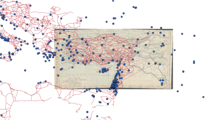
The first workshop for the Topics in Digital Mapping Series was yesterday, January 21st. David Wrisley introduced us to a variety of tools and ideas related to the process of getting and organizing spatial data. Participants were encouraged to try porting .csv files into Google Maps and to compare the visualization options with those available from CartoDB, which will be the subject of Workshop four in this series.
All participants were encouraged to create a data set for themselves for the next workshop, on February 11th, with 25 points and a temporal element, so they can map a topic of personal interest in Palladio.
All slides from the talk are available for download at http://tinyurl.com/fordhammappingday1
